Google Earth Photo
Google Earth Photo
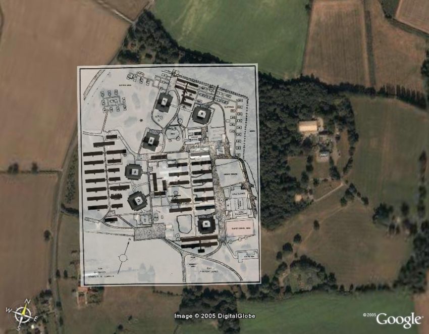
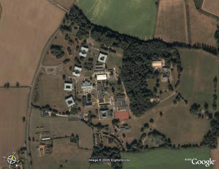
The College as it is now (2005). Zoom in to any area of the world by using Google Earth (http://earth.google.com). The level of detail varies, but fortunately Wymondham is one of the few parts of the UK that are covered. This photo is subject to copyright restrictions and may only be reproduced for personal (i.e. non-commercial) use. Thanks to Steve Fox for alerting us to this excellent tool. Here's the same image with an overlay of the late 1970s College map (click to enlarge):
Contents
![]() The Gallery
The Gallery
![]() Topography - Aerial Photos
Topography - Aerial Photos
![]() Google Earth Photo
Google Earth Photo