The following photos were taken in the late 1970's by Louise Martin from the upper floor of Fry Hall & give an approximate panoramic view of the central and eastern areas of the College.
For more detail of building numbers & original WW2 functions, see the full-size map on the Pre-history page.
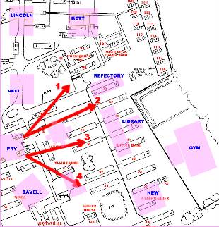
1. April 1978, with 1964 view inset. Hut 1 (admin/tuck shop - later music) in foreground + phone box 'scene of many a queue of homesick 1st formers,' with covered way adjacent. Workshops/drawing office behind and Kett Hall in the distance.
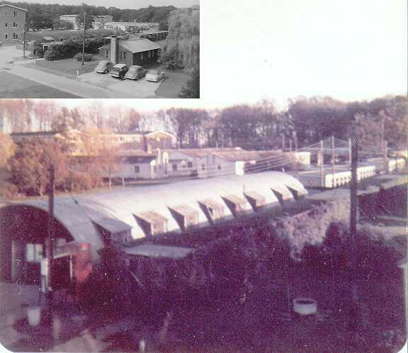
2. 30 June 1978. Hut 3 in foreground was the original hospital's Post Exchange (PX), Dorm 26 behind and the water tower in the distance. A portakabin stands in the position occupied previously by static water tanks.
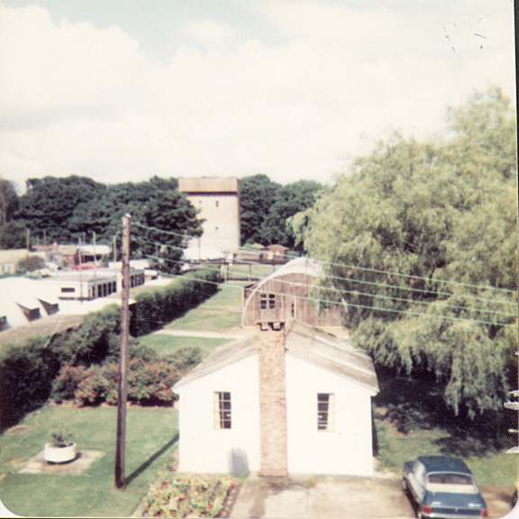
3. July 1977, taken from Fry corner dorm, boys' matron's landing. Old library (Hut 5 - looking sad) in foreground then, from left, 28, 30, and the end of a relocated hut, not shown on the original plans. Probably 35 to the right behind the overhead pipes. Gym in the distance.
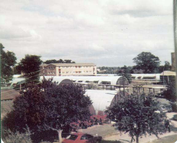
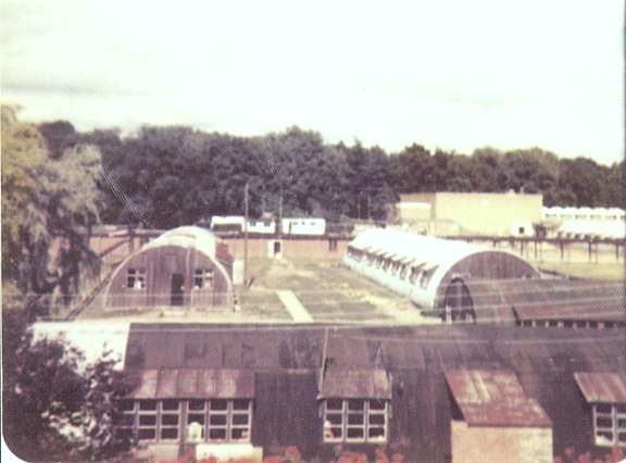
4. July 1977, taken from Fry corner dorm, boys' matron's landing. The library (Hut 5) is behind the tree to the left, butting up against Hut 7 (needlework at one point). The covered way runs between 32 and 34. In the distance is New Hall, the old science huts (40), and the boiler house to the right - the location once intended for a 7th accommodation block.
Contents
![]() The Gallery
The Gallery
![]() Topography - 70s
Topography - 70s
![]() Fry Pan View
Fry Pan View